New - Earth Science


Earth Science research
SSAI scientists and engineers are active in many fields of Earth Sciences, from observations to modeling and prediction of the Earth System and diagnostic studies.
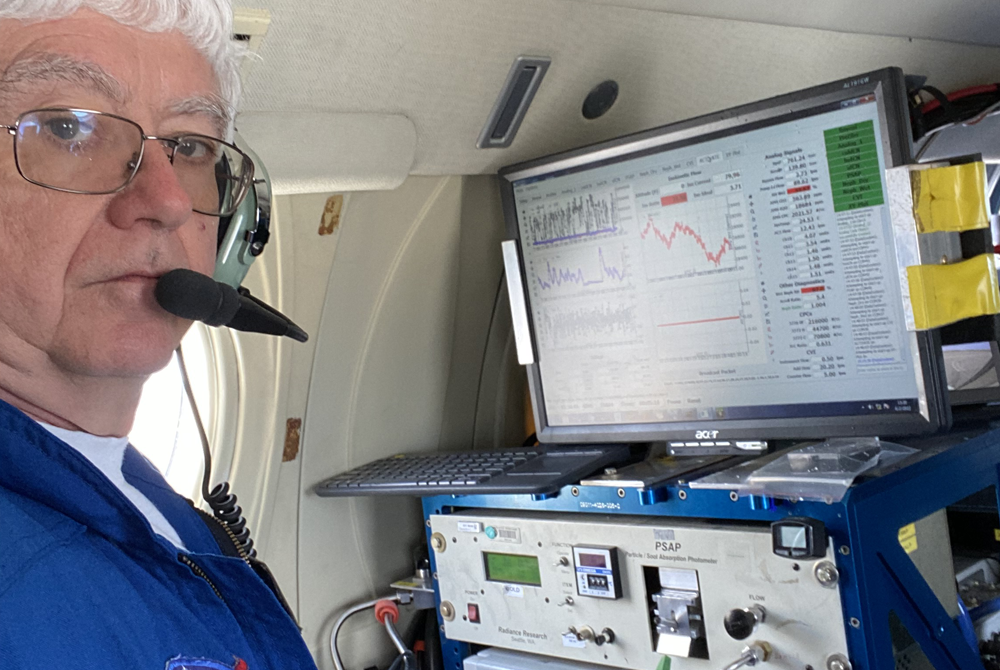
More specifically, SSAI is deeply involved in remote sensing, from algorithm development to data validation and calibration and finally data maintenance and distribution. SSAI scientists actively contribute to most existing NASA observing systems onboard a wide range of satellites that measure from space various properties of Earth’s atmosphere, water, ice, land, and biological activity.
Other SSAI scientists are contributing to the continuous development of the NASA Goddard Earth Observing System (GEOS) model and data assimilation framework, a comprehensive model of the Earth System that can operate on various temporal scales and spatial resolutions, from short- and medium-range weather forecasts to long-term climate variations, and can also be used in different configurations for a variety of purposes, such as global air quality studies.
Several SSAI scientists are focused on the observation and modeling of specific components of the Earth System, such as land surface and hydrology, biological activity, oceans, and cryosphere. SSAI scientists also contribute to Geodesy and solid-Earth geophysics and play a prominent role in the dissemination of NASA data through web portals. SSAI scientists are present in all the Offices and Laboratories within the NASA Goddard Earth Science Division, and some also collaborate with other NASA centers and across several academic and research institutes.
Projects funded by NASA contracts:
Principal Investigator-led projects:
Freshwater Sensing program
The purpose of this program is to develop and expand research that will position SSAI at the forefront of the nation’s scientific endeavor in addressing the impacts of climate change and anthropogenic stressors on water resources, utilizing advancements centered around novel AI/ML research methods with due attention paid to factors such as availability, accessibility, knowledge sharing.
This will include algorithm development for the quantification/detection of water-related variables from satellite and airborne (i.e., drone) imagery and in-situ data. It will also include support for instrument/mission development for Surface Biology and Geology, Landsat Next, and nighttime imaging, as well as data fusion and integration for LiDAR and optical/thermal imagery, SAR, and polarimetry.
The project will also entail due calibration and validation for global, regional, and local scientific studies and applications of climate variability and human impacts (e.g. LCLUC) on lakes/coastal estuaries. It will focus on specific regions (i.e. Arctic, Amazon, Sub-Saharan Africa), will include provisions to aid disaster response (e.g. post-hurricane assessments), and will study phytoplankton and biodiversity.

.jpg/55372c3b-4d34-dbde-2685-9acc67235fe2/?imagePreview=1)